Scan bases, settings & Point Cloud Densities

In the world of 3D laser scanning, the relationship between scan bases and the resulting point cloud is crucial for creating precise digital representations of real-world environments. Each scan base acts as the position of the 3D scanner, capturing precise laser readings within a customizable radius. These captures contain exact geospatial information, alongside color and brightness data captured at that precise moment.
To ensure a proper scanning plan, a pattern of captures must be followed to share a high percentage of common points. This allows the software to automatically process the sum of all scan points and generate a complete and coherent point cloud. Bases that cannot be automatically aligned must be registered manually and, in many cases, removed to prevent error introduction.
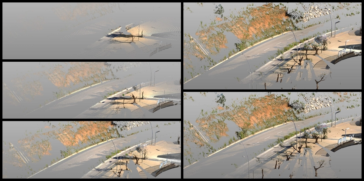
When composing the point cloud, an appropriate density is established based on the project's objectives. The density of the point cloud refers to the separation distance between the points that compose it. For instance, projects for BIM environments, topography recreation, or detailed 3D mesh acquisition will require different densities, ranging from 0.6 mm to 5 cm on average.
Each scan base can generate between 250,000 and 5 million points, with capture times varying between 90 seconds to over 30 minutes depending on the capture settings.

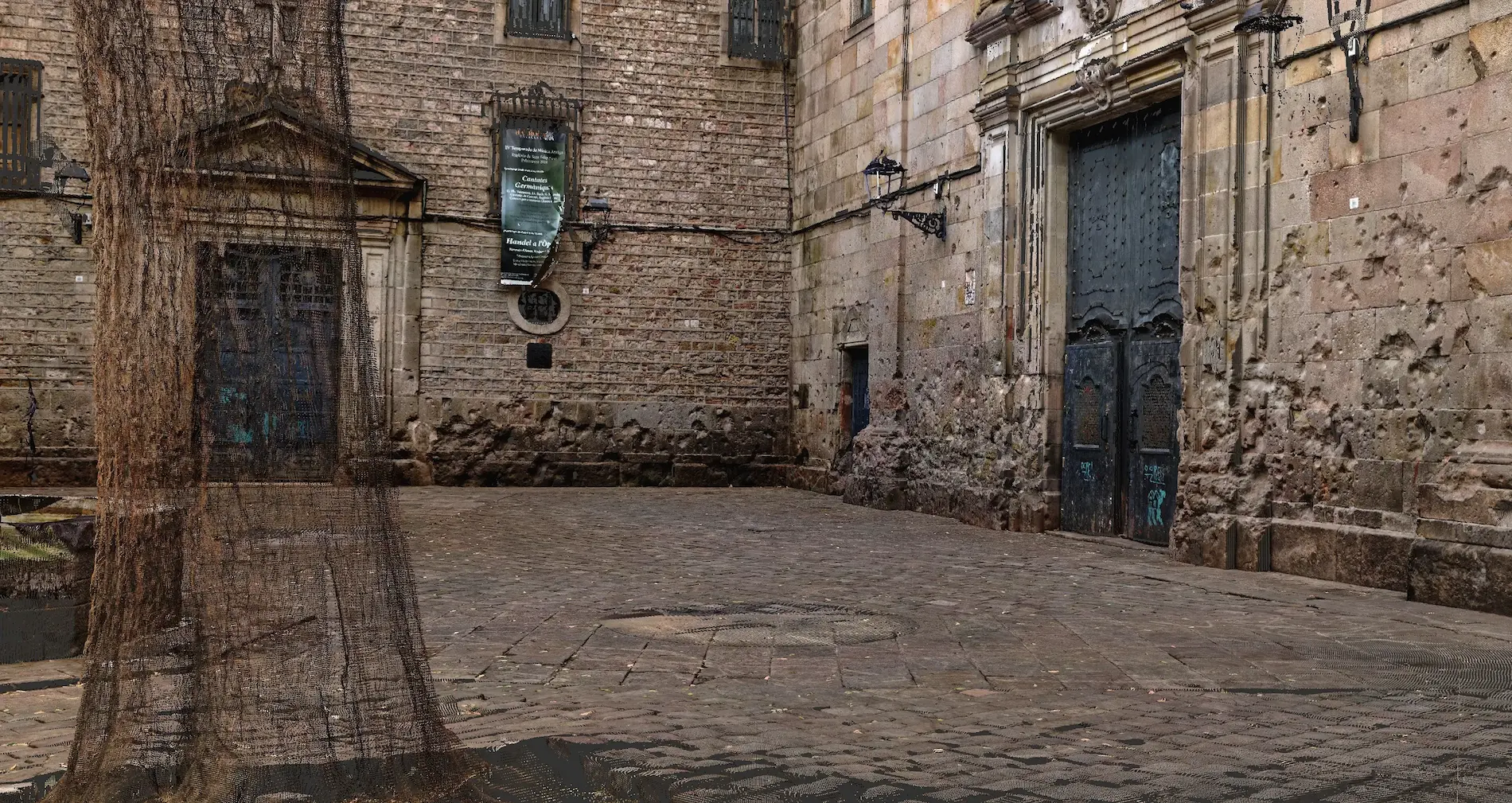
It's important to note that any objects visually obscured from the scan base or beyond the setted scanning range will not be represented in the resulting .fls file associated with the base
It's also worth clarifying that a standard capture can reach a maximum height of 2.3 meters from the scan base, limiting proper readings above to elements with top view around 1.8 meters. Taller elements must be scanned from higher points, potentially requiring additional elevation equipment and increasing operational costs.
In the realm of 3D laser scanning, strategic placement of scan bases is key to unlocking the full potential of point cloud generation, saving time and money.
In conclusion, meticulous planning and execution of scan base placement are essential for achieving accurate and comprehensive point clouds. We offer our expertise and experience in the field of 3D laser scanning, and we invite you to explore more of our articles. Let's collaborate on projects requiring precise point cloud data and transform your vision into reality together.
If you're interested in learning more about our research and advancements in the field of 3D laser scanning, we invite you to explore our other related articles on our website.
Read other articles
Discover more about how BumbleBee is digitizing reality and driving innovation and understanding of the world around us!
Explore what we do
